December 24, 2025 | 11:57
Partners
Volunteering, practice and internship
Events
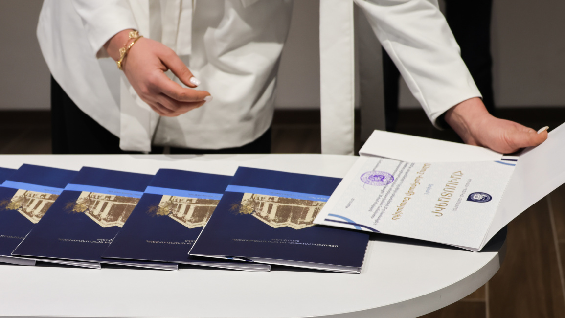
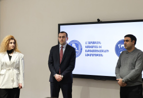
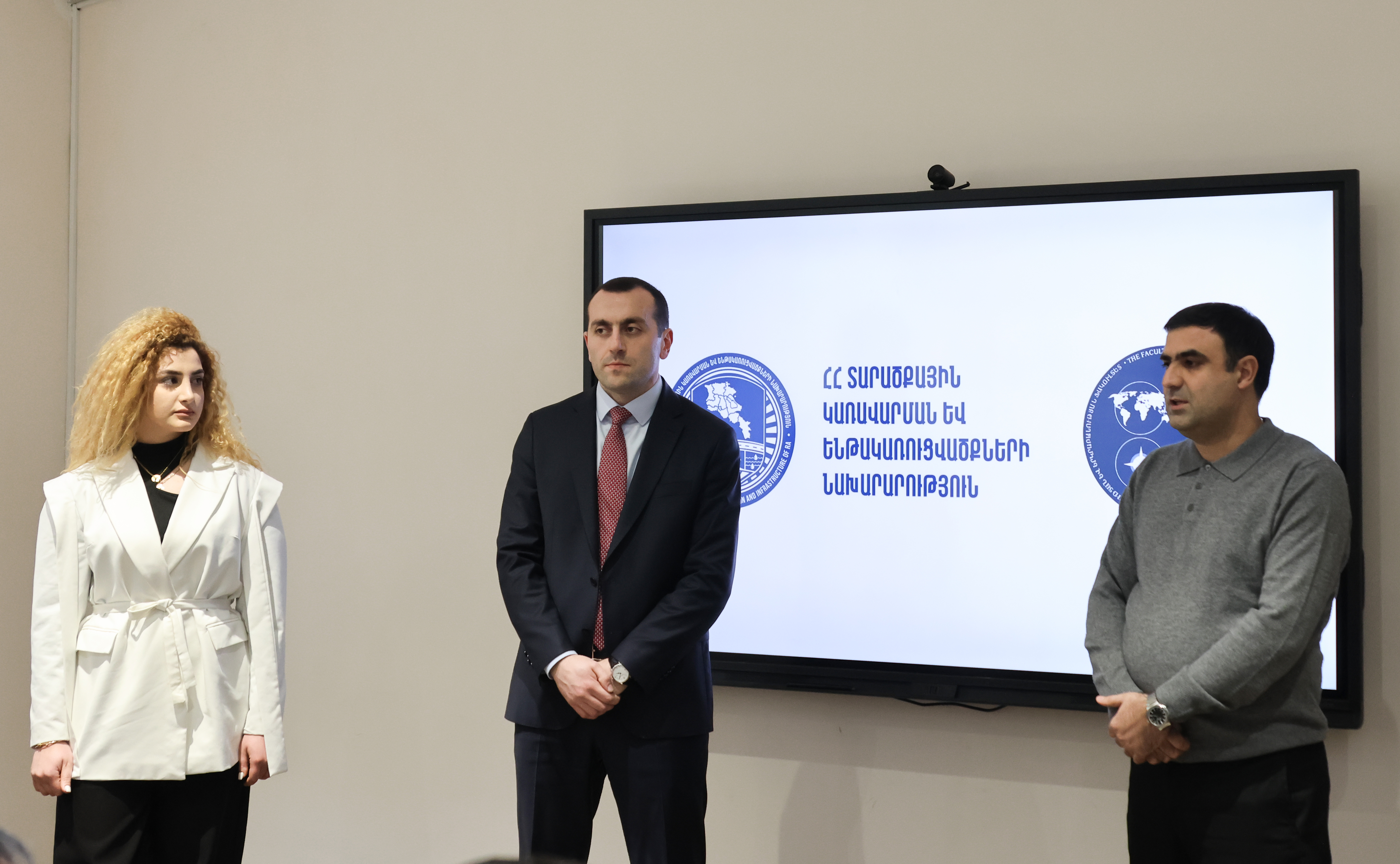
The professional development course, held from September 11 to December 22, aimed to develop professional knowledge and skills, incorporating both theoretical and practical components.
Vardan Nahapetyan, lecturer at the YSU Chair of Cartography and the course instructor, noted that during the program, ministry staff became acquainted with the theoretical foundations of geographic information systems and acquired the skills to apply this knowledge in their daily work.
"The course included both theoretical and practical components. The practical part, naturally, was conducted using computers in a classroom setting," said V. Nahapetyan, adding that similar training programs will continue to be offered at the Faculty of Geography and Geology.
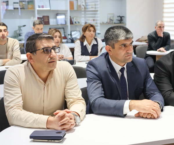
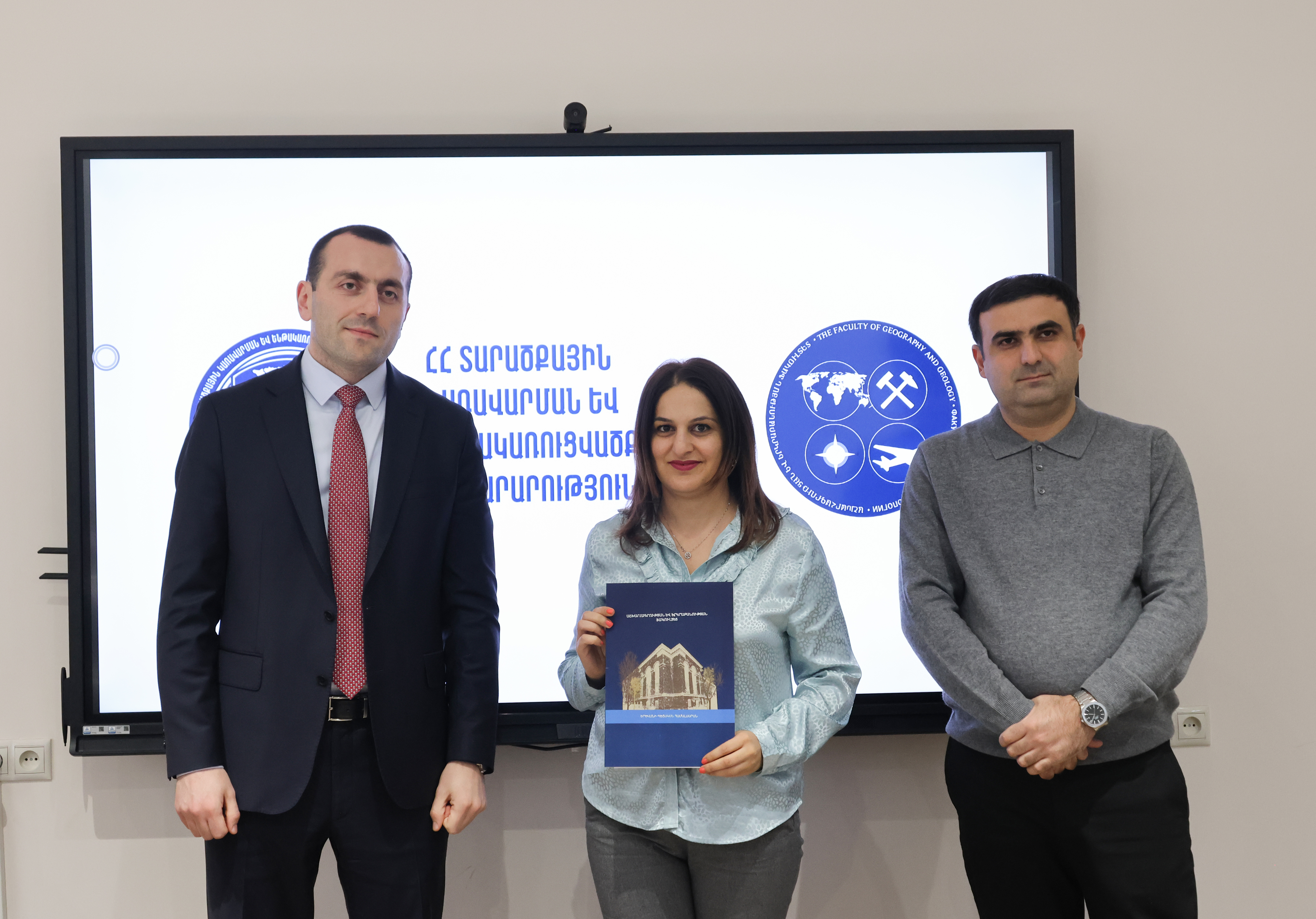
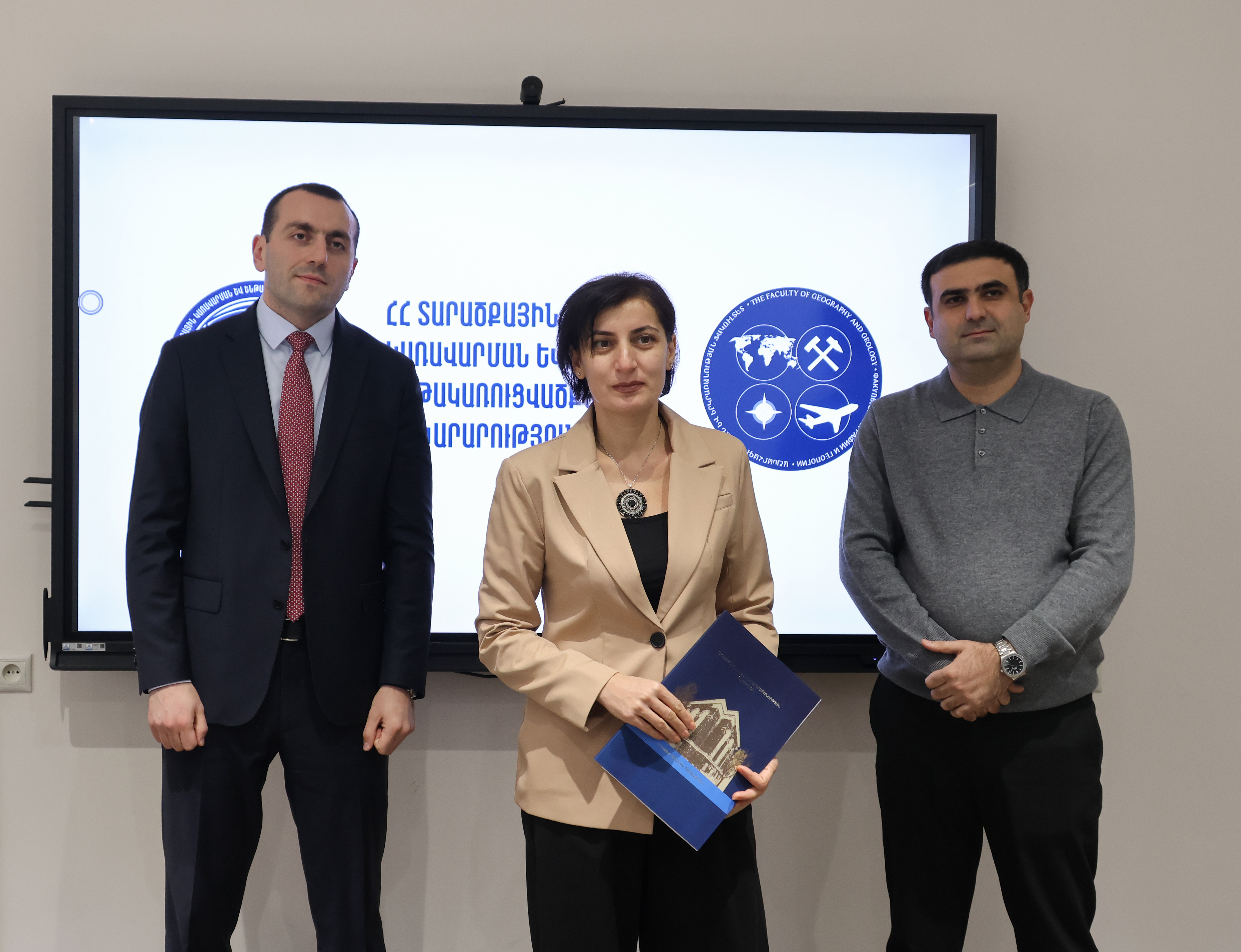
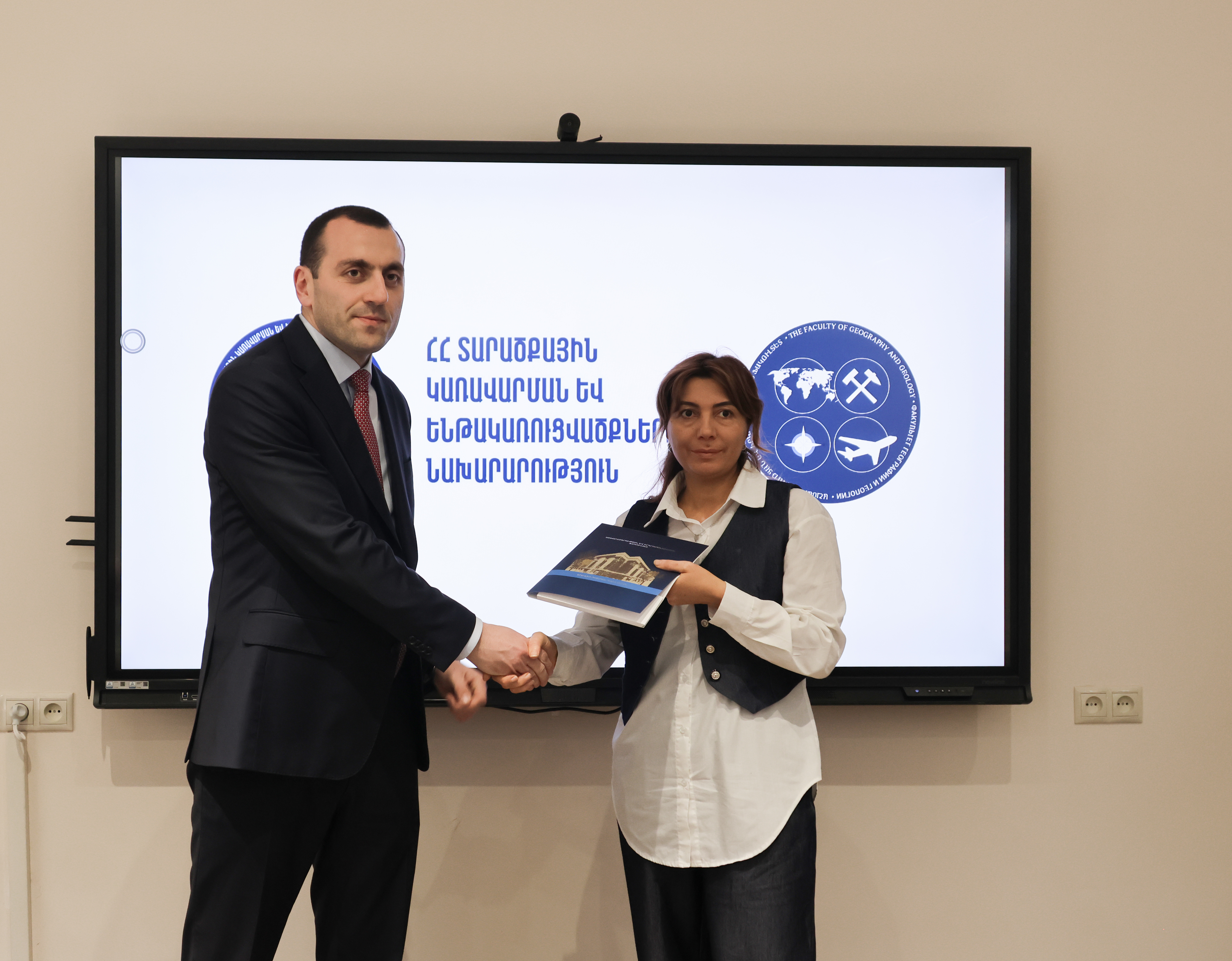
Asatur Vardanyan, Deputy Minister of Territorial Administration and Infrastructure, emphasizing the importance of regular professional development courses for the advancement of the sector, noted that the memorandum of cooperation signed with the Faculty of Geography and Geology a year ago is now yielding tangible results.
"We will still have the opportunity to explore further possibilities for cooperation. This process, of course, should be continuous, and we will organize new courses in various directions," the deputy minister added, noting that the ministry will continue to support YSU within the scope of its authority and capacity.
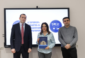
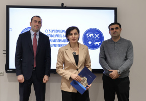
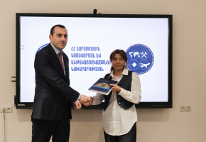
Sargis Qelyan, Dean of the Faculty of Geography and Geology, appreciated the collaboration with MTAI, particularly the opportunity it provides for organizing professional internships for the faculty's master's students at the ministry. He also emphasized that the "ArcGIS Desktop Geographic Information System" course represents only one aspect of the broader cooperation between the faculty and the ministry.
During the event, both sides agreed to continue, further strengthen, and expand their collaborative ties.