July 04, 2025 | 12:06
Research centers and institutes
Research
International cooperation
The project titled "Center for Spatial Research and Urban Informatics", authored by Artak Piloyan, Assistant and Acting Head of the Chair of Cartography and Geomorphology at YSU Faculty of Geography and Geology, along with his colleagues, received funding within the framework of the "Establishing Remote Laboratories–2025" competition, announced by the Higher Education and Science Committee of the MoESCS RA.
Specialists from the Faculty of Geography and Geology, in collaboration with researchers from the University of Tokyo (Japan), will carry out a series of applied and scientific studies under this project. These studies are directed toward the digitalization of Yerevan, sustainable development of the urban environment, seismic resilience assessment, and uncovering the dynamics between people and the urban environment.
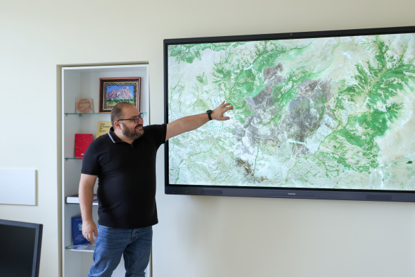
Artak Piloyan emphasized that this five-year initiative will result in the creation of a digital "twin" of Yerevan, which will serve as a basis for data-driven, evidence-based decision-making, as well as new approaches to "smart" urban planning and flexible management.
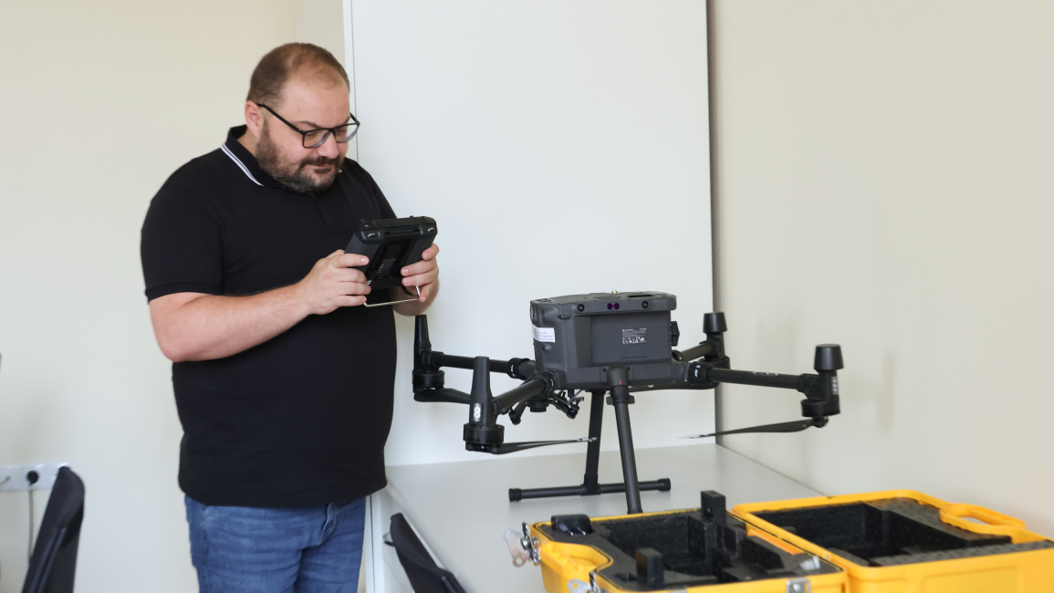
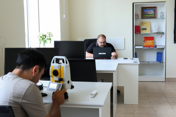
The center’s initial two main research directions include seismic vulnerability modeling: "For Yerevan’s Small Center, models based on artificial intelligence and big data will be developed to assess the seismic vulnerability of buildings. Data collection, remote sensing analyses, fieldwork, and the 'profiling' of buildings in terms of construction year, architectural structure, and building materials will be conducted. This process will be supported by machine learning algorithms to evaluate buildings’ risk levels," explained Artak Piloyan. He added that another important research focus will be the study of the impact of the urban environment on human behavior: "The research will analyze factors such as the availability of green spaces, air quality, noise levels, and transport accessibility."
To study the urban environment, analyses will be performed using machine learning models, field surveys, and sensors, which will help understand how the urban spatial structure shapes people’s daily behaviors, commuting patterns, and lifestyles.
"Urban informatics lies at the intersection of urban planning, technology, and spatial science. Our goal is not limited to seismic assessment alone. We also aim to develop tools to help govern the city with data and understand how the city 'functions' for its residents," noted Artak Piloyan.
He further stated that the project is considered part of Armenia’s digitalization agenda. Several cooperation avenues have already been outlined with various government institutions, including the Urban Development Committee, the Ministry of High-Tech Industry, the Ministry of Internal Affairs, and the Yerevan City Municipality.
The project’s outcomes will have both scientific and practical significance, promoting the application of innovative models in urban planning, disaster management, and sustainable development.
The project’s principal international partner is Professor Yoshihide Sekimoto from the University of Tokyo, Head of the Center for Spatial Information Science (CSIS) and a globally recognized leading expert. He also serves as Secretary-General of the PLATEAU Consortium, one of the world’s most advanced digital urban data systems.
Another international partner, Associate Professor Kotaro Iizuka, specializes in satellite data, UAV technologies, land-use analysis, and disaster risk assessment.
Voluntarily joining YSU research team is Armenian researcher Arthur Hovhannisyan from the Center for Spatial Information Science at the University of Tokyo, who has approximately seven years of experience in architecture, urban design, and spatial planning.
The scientific team also includes Vahan Manukyan, Associate Professor at YSU Chair of Regional Geology and Mineral Exploration, as well as PhD students Mariam Peninyan and Lena Maralyan.